Aerial Drone Survey and Monitoring
Talk to our Experts Our advisors can help you manage automated AI based survey.
Overview
Leprofile Aerial Drone Survey and Monitoring Solutions
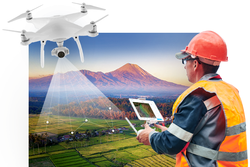
Step into the future of data acquisition with Leprofile's Aerial Drone Survey and Monitoring Solutions. Our innovative approach to surveying and monitoring combines the power of cutting-edge drone technology with a commitment to precision and efficiency. We specialize in transforming traditional data collection practices, offering comprehensive services that cater to the unique needs of various industries.
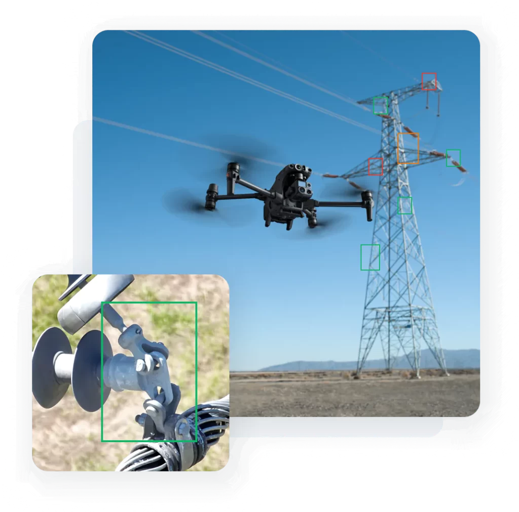
At Leprofile, we leverage state-of-the-art drones equipped with high-resolution imaging capabilities and advanced sensors for remote sensing applications. This enables us to capture intricate details of landscapes, construction sites, and assets from elevated perspectives. Real-time monitoring capabilities further enhance situational awareness, allowing for swift responses to evolving conditions and informed decision-making on the go.
Our customized survey plans are tailored to your project's specific requirements, ensuring optimal data collection and actionable insights. Collaborate with Leprofile experts to define mission objectives and incorporate parameters that align with your business goals.
Experience the future of surveying and monitoring with Leprofile, where autonomous drone flights, data collection, and processing converge to provide detailed, reliable information for informed decision-making. Elevate your business operations and gain a competitive edge with Leprofile's Aerial Drone Survey and Monitoring Solutions.


Key Features
Explore the key features of solution offerings:
- Leprofile’s Aerial Drone Survey and Monitoring Solutions boast high-resolution imaging capabilities, ensuring detailed and precise visual data capture.
- Experience unparalleled clarity in surveying landscapes, construction sites, and assets.
- Utilize advanced sensors integrated into our drones for remote sensing applications.
- Achieve accurate monitoring of environmental changes, agricultural fields, and critical infrastructure.
- Benefit from real-time monitoring capabilities that enhance situational awareness during drone flights.
- Respond swiftly to evolving conditions and make informed decisions with up-to-the-minute insights.
- Leprofile tailors survey plans to the specific objectives of your project.
- Incorporate project-specific parameters for optimal data collection and analysis.
- Enjoy the efficiency of autonomous drone flights over designated survey areas.
- Drones navigate predetermined routes, ensuring comprehensive coverage and data collection
- Leprofile’s drones collect a rich dataset during flights, including high-quality visuals and sensor data.
- Advanced algorithms process collected data, generating actionable insights for informed decision-making.
-
Step 1
Mission Planning
Define the survey area and objectives, customizing the drone mission accordingly. -
Step 2
Autonomous Flight
Drones navigate predetermined routes, capturing images and data as per the mission plan. -
Step 3
Data Collection
Process collected data using advanced algorithms to generate actionable insights.
Let's Build for the Future.
Career opportunities Join a team that's focused on bringing the future forward.
Benefits
Benefits of Leprofile Aerial Drone Survey and Monitoring Solutions
Efficiency and Speed
Expedite surveying and monitoring tasks with the efficiency of aerial drones. Cover large areas quickly and obtain data in a fraction of the time compared to traditional methods.
Safety and Accessibility
Conduct surveys in challenging or hazardous environments without putting human operators at risk. Access remote or hard-to-reach areas with ease.
Precision and Accuracy
Achieve unparalleled precision and accuracy in data collection. Obtain detailed, reliable information for informed decision-making.
Versatile Applications
Leprofile's solutions are versatile, catering to a wide range of industries such as construction, agriculture, environmental monitoring, and more. Adapt drone technology to various project needs for comprehensive data collection and analysis.
Cost-Effective Solutions
Reduce costs associated with manual surveys and monitoring efforts. Minimize the need for ground-based equipment and labor-intensive processes.
Improved Safety Standards
Minimize risks associated with traditional surveying methods by deploying drones for hazardous or hard-to-reach areas. Enhance safety standards by reducing the need for personnel to access challenging terrains.
Leprofile’s Aerial Drone Survey and Monitoring Solutions offer a myriad of benefits, from increased efficiency and cost savings to accurate data insights and improved safety standards. Elevate your projects with our innovative approach to surveying and monitoring.
Insights/Resources
Expert insight and analysis on the latest trends.
A Guide to Embracing Meaningful Change in Banking
PayPal launches PYUSD stablecoin for payments and transfers
Revolutionizing the Future of Financial Services
Industries we serve
Leprofile's industry clients represent:
Automotive & Mobility
Media & Entertainment
Energy & Natural Resources
Social & Public Sector
Healthcare & Life Sciences
Aerospace & Defense
Infrastructure & Construction
Retail & Corporate Banking
We are always on the lookout for talented folk to join our team. Follow us on LinkedIn!


